One station, $2.5 billion in savings?
Does Montréal need two Alto high-speed rail stations, or would one well-placed station serve the region better?
Short answerPossibly one. A single station in Ahuntsic, near Sauvé metro, fed by express shuttles on bus lanes that are genuinely enforced, would let Alto’s trains cross Laval without stopping and avoid most of a roughly 15 km tunnel under Mount Royal: on the order of $2.5 billion, by the author’s estimate. It only works if getting to the station is fast, which is where the savings would go.
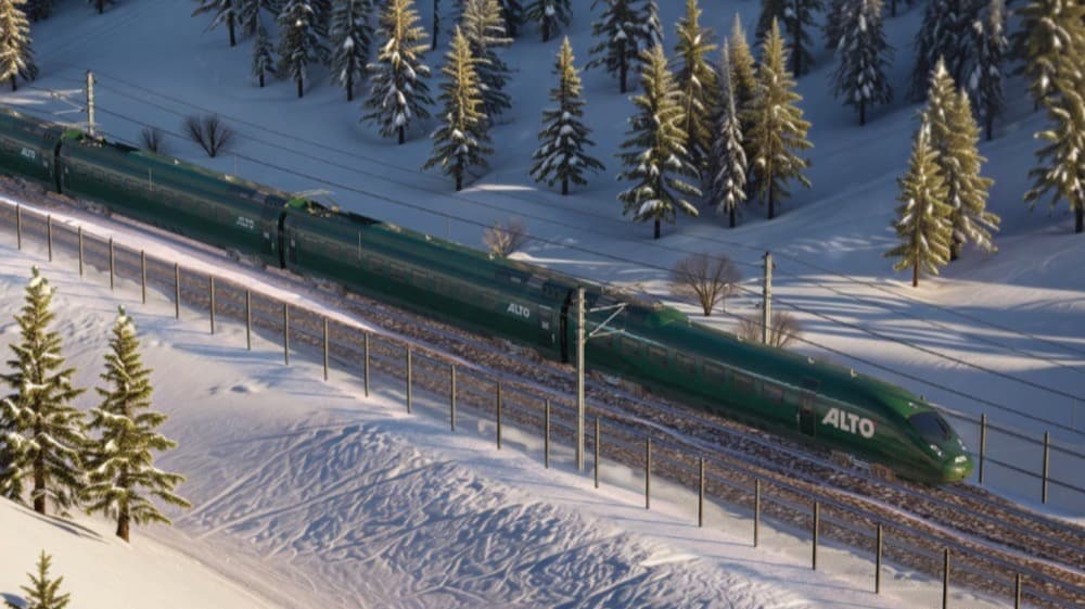
A reflection on Alto, metropolitan mobility and how Montréal could connect to high-speed rail
As Québec, Canada and Ontario move forward on the Alto high-speed rail corridor linking Toronto, Ottawa, Montréal and Québec City, one important question keeps coming up in discussions about how the network should be laid out.
Does the Montréal region really need two high-speed rail stations, or could a single large, well-located metropolitan station serve the region more efficiently?
Alto’s current plan calls for two stops in the region: a downtown Montréal station in the Ville-Marie borough, reached by a tunnel under the Rivière des Prairies and Mount Royal, and a station in Laval whose location has yet to be determined. The logic is easy to understand: two stations spread the economic benefits, widen geographic access to the network and strengthen political support for a nationally significant infrastructure project.
But looked at from the angle of metropolitan mobility systems, another perspective appears. Many urban planners and transport economists have long argued that a single, well-located metropolitan station can often serve a region more efficiently than several stations close together, provided the transport network around that station is well designed.
This article is deliberately an open reflection, not a final technical proposal. I am not a rail engineer, and the aim is not to settle the infrastructure question. It is rather to open a discussion with urban planners, engineers, transport planners and urban mobility specialists about how Montréal could connect to the Alto network. Let me say up front: I am not opposed to a downtown station. I am asking whether it might be more efficient to split the difference.
The central question is therefore this: could the Montréal region be better served by one large metropolitan station, supported by a higher-performing regional mobility network?
Context and personal perspective
Before getting into the reflection that follows, a few words on the perspective this article is written from.
I am neither a rail engineer nor an urban planner. For nearly fifteen years, however, my work has had me collaborating with experts, operators and decision-makers across different parts of the transport and infrastructure sectors.
Along the way, I have worked on issues involving logistics, fleet management and mobility systems, notably in the international aviation ecosystem around the International Civil Aviation Organization (ICAO), the United Nations agency based in Montréal. I was also part of the founding team of BusPatrol, a company specializing in safety and automated enforcement technology for school buses.
Today I am Chief Strategy Officer (CSO) at Boisvert-Gayle™ | BGprod., a communications firm, and I work with, among others, SolidCAD. I was previously head of communications at BusPas Inc., a technology company developing smart infrastructure for public transit networks and cities.
In the interest of transparency: I have worked at BusPas, and BGprod counts SaferSmart Zones (SécuriZones) among its clients. Both companies are mentioned later in this text.
The vision behind Alto
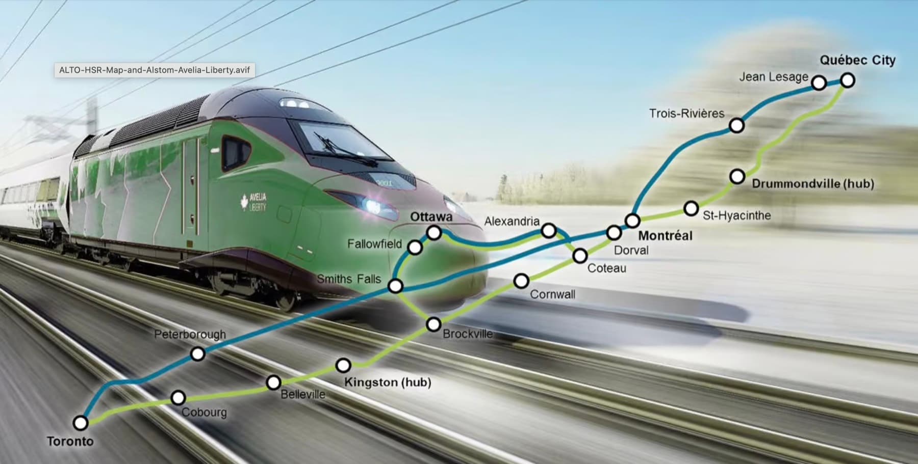
The Alto project aims to transform intercity travel in Canada’s most populated corridor. The proposed network would link Québec City, Montréal, Ottawa and Toronto with electric trains capable of reaching 300 km/h or more.
In December 2025, Alto and Transport Canada announced that the first segment would link Ottawa and Montréal via Laval. Alto’s President and CEO, Martin Imbleau, explained at the time:
Transport Canada presents this corridor as a defining piece of national infrastructure, capable of transforming mobility between major cities while reducing road congestion and emissions from air travel.
Alto also stresses dialogue with the public. In January 2026, Martin Imbleau stated:
This openness makes thinking about how Montréal connects to the network particularly relevant.
The technical reality: how the line leaves Montréal
High-speed rail systems must respect significant technical constraints. Trains capable of running at 300 km/h or more need very straight alignments, wide curve radii and as little interference as possible with the dense urban fabric.
In Montréal’s case, the natural geometry of the rail corridor leads north toward Laval, before turning west toward Ottawa and then Toronto.
From an engineering standpoint, adding a station in Laval therefore fits naturally within the corridor’s trajectory. However, that ease of alignment does not necessarily answer the broader question: how many stations are really needed to serve the metropolitan region efficiently?
Two stations close together mean extra slowdowns, duplicated infrastructure and separate integration systems with local transit networks.
Montréal in an international context
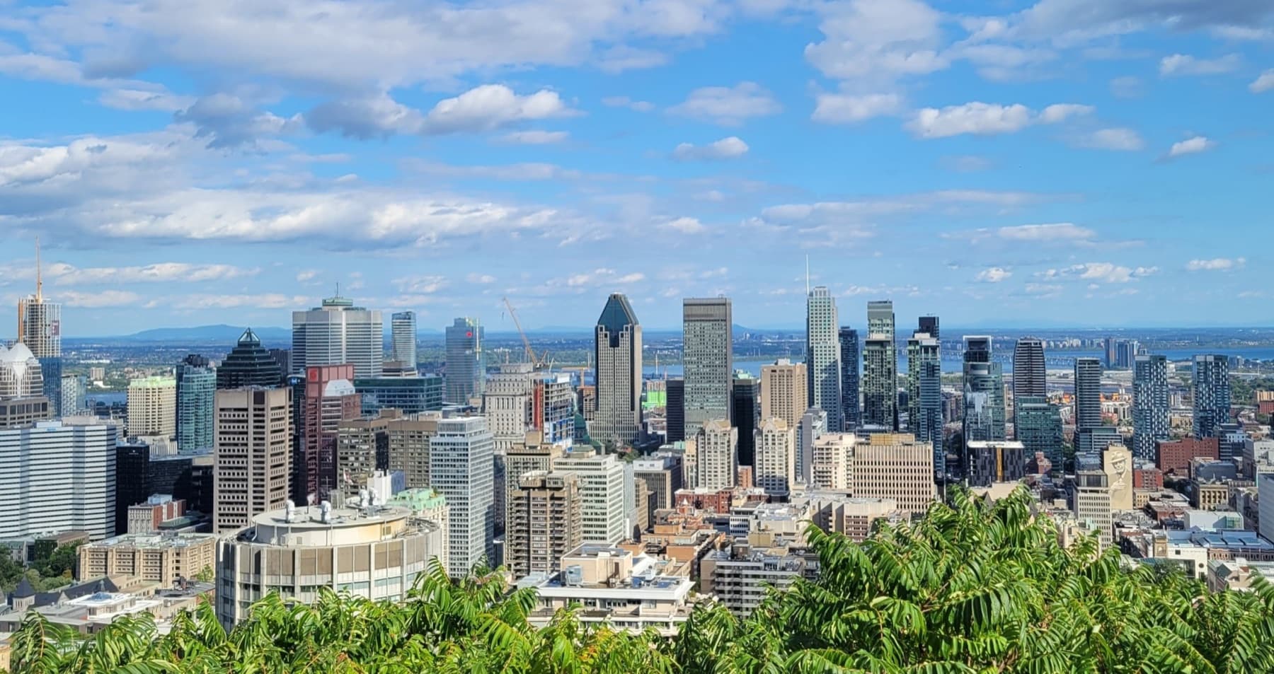
- Montréal: about 4.3 million inhabitants, 2 stations proposed
- Paris: about 12 million inhabitants, 3 to 4 major TGV stations
- Beijing: about 21 million inhabitants, 3 to 4 major stations
The Montréal metropolitan region has about 4.3 million inhabitants: significant by Canadian standards, but relatively modest compared with the large metropolises that already operate high-speed rail networks.
The Paris metropolitan region, for example, is home to more than twelve million people. Its TGV network relies on a few major stations such as Gare de Lyon, Gare du Nord and Gare Montparnasse. In Beijing, where the metropolitan population exceeds 21 million, the network is likewise concentrated around major stations such as Beijing South and Beijing West.
In his book Order Without Design (MIT Press, 2018), the urban planner Alain Bertaud develops the idea that large metropolitan transport systems work best when high-capacity infrastructure is concentrated around a few powerful hubs, supported by high-performing feeder networks.³
In other words, accessibility depends less on the number of stations than on how easily people can get to them.
Why Montréal’s geography favours a hub model
Montréal has an important geographic particularity: the city sits on an island. Regional travel therefore already passes through a limited number of corridors: bridges, radial highways and rapid-transit lines. Metro, commuter-rail and bus networks also converge on a few major nodes.
Put differently, mobility in the region already works largely on a hub-and-spoke logic. In that context, a large, well-connected metropolitan station could fit naturally into this structure.
Splitting the difference: one station in Ahuntsic
I am not opposed to a downtown station. It has real strengths: in the 2026 public consultations, Gare Centrale was the most frequently preferred site, because downtown-to-downtown service is considered essential to the train’s competitiveness, and it is already connected to the Green and Orange lines, the REM and the commuter trains. But it requires a long tunnel under the Rivière des Prairies and Mount Royal, whose cost and complexity several participants questioned.⁴
The same consultations show that some people wonder whether a stop in Laval, so close to downtown, is truly necessary.⁵ Hence my question: rather than two costly stations a few kilometres apart, wouldn’t it be more efficient to split the difference, with a single station between downtown and Ville de Laval, and to invest the public funds saved in expanding the network that leads to it?
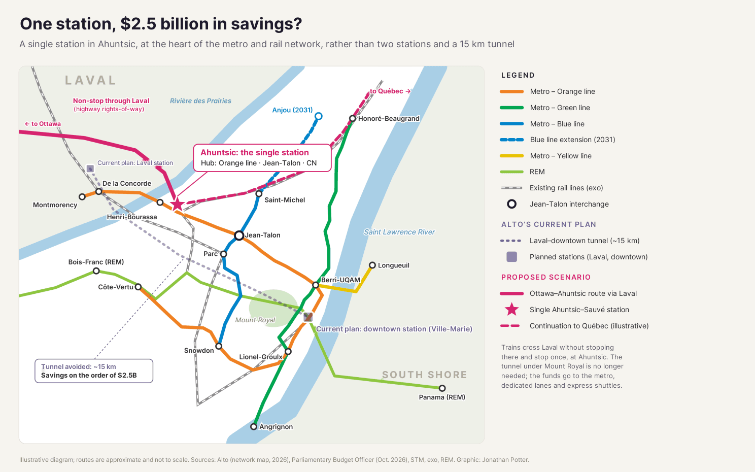
In concrete terms, the line could keep crossing Laval, for example by following the highway rights-of-way that Alto would favour according to the City, without trains stopping there. They would then cross the Rivière des Prairies and stop just once, in Ahuntsic. The potential saving is significant: according to the Parliamentary Budget Officer, linking Laval and Montréal would require digging a tunnel of about 15 km under Mount Royal, and each kilometre of tunnel adds about $169 million to the project’s cost.⁶ Avoiding most of that tunnel would therefore represent on the order of $2.5 billion, not counting one fewer station to build and operate. Those funds could instead pay for access to the station: dedicated lanes, express shuttles and metro extensions.
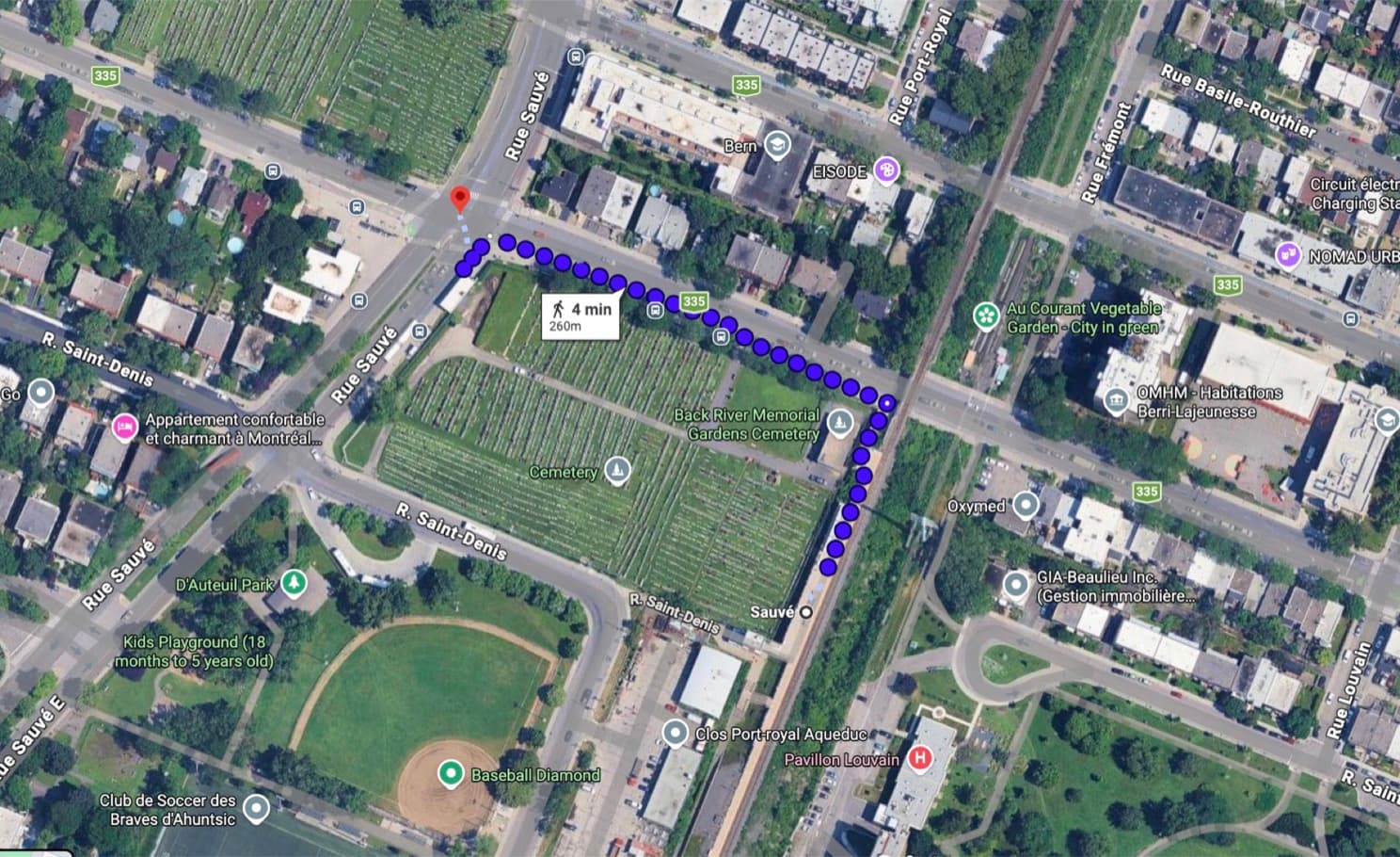
One example: the Ahuntsic–Sauvé corridor, near Sauvé station. This area already sits on an existing rail corridor between downtown and Laval, near the bridges linking the two cities. It is directly connected to the Orange Line of the Société de transport de Montréal, a few stops from the Jean-Talon interchange with the Blue Line. A station here would also benefit from development in the city’s northeast: the Blue Line extension to Anjou, with five new stations east of Saint-Michel, is due to enter service in 2031.⁷ This is precisely the kind of trade-off that specialists are better placed than I am to assess.
Research conducted at Concordia University has shown that this type of transit node can become the starting point for polycentric metropolitan development. Researcher Carmela Cucuzzella, now Dean of the Faculty of Planning at Université de Montréal, showed in work published in the journal Cities that transit stations can anchor a polycentric city, provided planning aligns mobility, housing and economic development.⁸
The role of smart infrastructure and feeder mobility
For the single-station model to really work at metropolitan scale, access to the station has to be smooth, fast and reliable from surrounding neighbourhoods and towns.
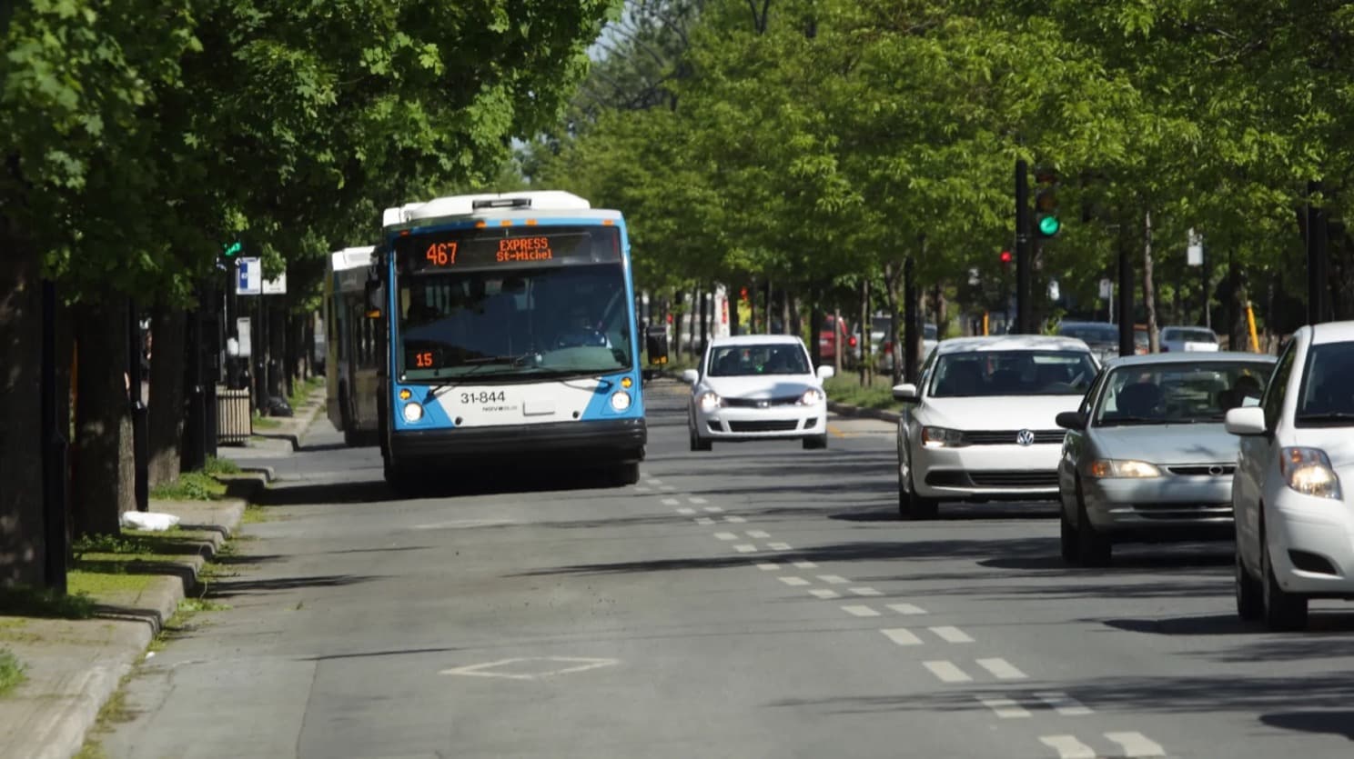
Smart urban infrastructure platforms, such as the signage and connected-mobility systems developed by BusPas (SmartSign™), show how transit stops can evolve into points of distributed urban intelligence, able to:
- broadcast real-time information to passengers;
- collect data on street activity and traffic;
- integrate with traffic-management and bus-priority systems;
- coordinate local mobility services.
That data becomes truly valuable when it is made available to decision-makers. That is the role of BusPas’s ORA™ platform, designed and developed by Wissem Maazoun, which gives transit agencies and cities access to the data gathered by their infrastructure so they can plan and adjust their services better. BusPas introduced ORA Portal 2.0 in 2025.
In a scenario where Montréal had a single large Alto station, this kind of infrastructure could act as a connectivity layer between neighbourhoods and the rail hub: bus stops, intermodal hubs and certain urban corridors would become the network’s local gateways.
Bus priority and signal synchronization
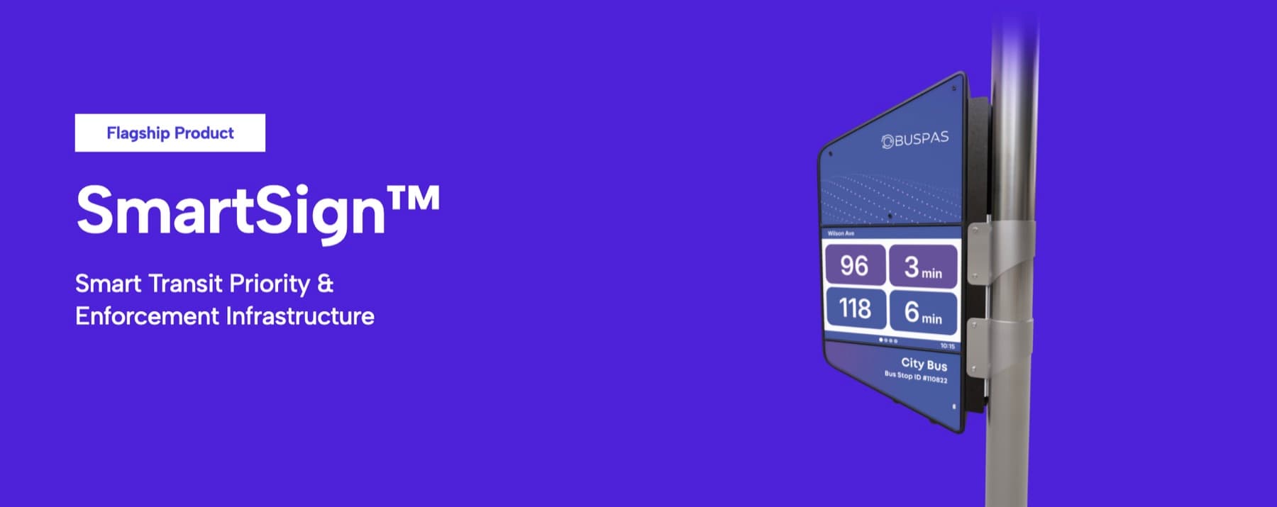
Transit signal priority (TSP) lets buses interact with traffic lights to extend a green phase or shorten a wait when a transit vehicle approaches an intersection. Well integrated, this technology considerably improves the speed and regularity of bus lines, particularly on major metropolitan arteries.
Managing dedicated lanes
Companies such as SecuriZones™ (safersmartzones.com, a BGprod client) are developing technologies that use artificial intelligence and video analytics to detect violations in bus lanes and generate digital evidence that municipal authorities can use.
The goal is not to multiply tickets but to keep transit corridors clear so buses run at their planned speed. Bus lanes that are genuinely free make buses faster and more reliable, which directly improves access to major transit hubs.
In New York, the Automated Camera Enforcement (ACE) program of the Metropolitan Transportation Authority shows what a genuinely respected bus lane can deliver. Combined with bus lanes and street redesigns, the cameras have contributed to speed gains of nearly 30% on some stretches of the targeted routes. On average, only 10% of violators receive more than one ticket.⁹
Mobility networks around one major station
Rather than multiplying major rail stations, many cities concentrate their efforts on effective access networks leading to a central station. In the Montréal region, several intermodal hubs already exist:
- Montmorency: metro and Société de transport de Laval network
- Bois-Franc: REM interchange
- Sainte-Thérèse: exo – Réseau de transport métropolitain commuter train
- Panama: REM terminus on the South Shore
- Pie-IX corridor: the STM’s major rapid-bus axis
Estimated access times with express shuttles on dedicated lanes
For illustration, here are possible access times to an Alto station in the Ahuntsic–Sauvé corridor, combining the metro with express shuttles on bus lanes that are genuinely enforced:
- Bois-Franc (REM): ~5 km, 8 to 10 min (express shuttle, dedicated lanes)
- Montmorency (Laval): ~6 km, 10 to 12 min (express shuttle via Henri-Bourassa)
- Pie-IX corridor: ~7 km, 12 to 15 min (shuttle, existing dedicated lanes)
- Anjou (extended Blue Line, 2031): ~10 km, 20 to 25 min (Blue Line, Jean-Talon interchange, Orange Line)
- Panama (South Shore): ~14 km, 20 to 25 min (REM + express shuttle)
- Sainte-Thérèse (exo): ~20 km, 25 to 30 min (exo train or express shuttle)
Illustrative estimates, not operating data.
Example: the Henri-Bourassa corridor
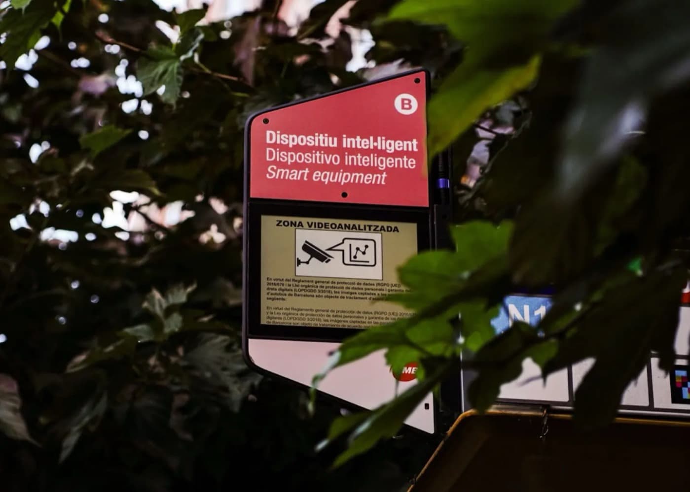
Henri-Bourassa Boulevard is already one of Montréal’s most structuring transit axes. When a dedicated lane works properly, buses there could be expected to hold a commercial speed of about 25 to 30 km/h, comparable to many bus rapid transit corridors in Europe.
If those lanes were protected by an automated enforcement system, they could operate as true metropolitan express corridors. With shuttles synchronized to train departures, a large part of Montréal and Laval could reach the station in under 30 minutes.
The Toronto and Alstom example
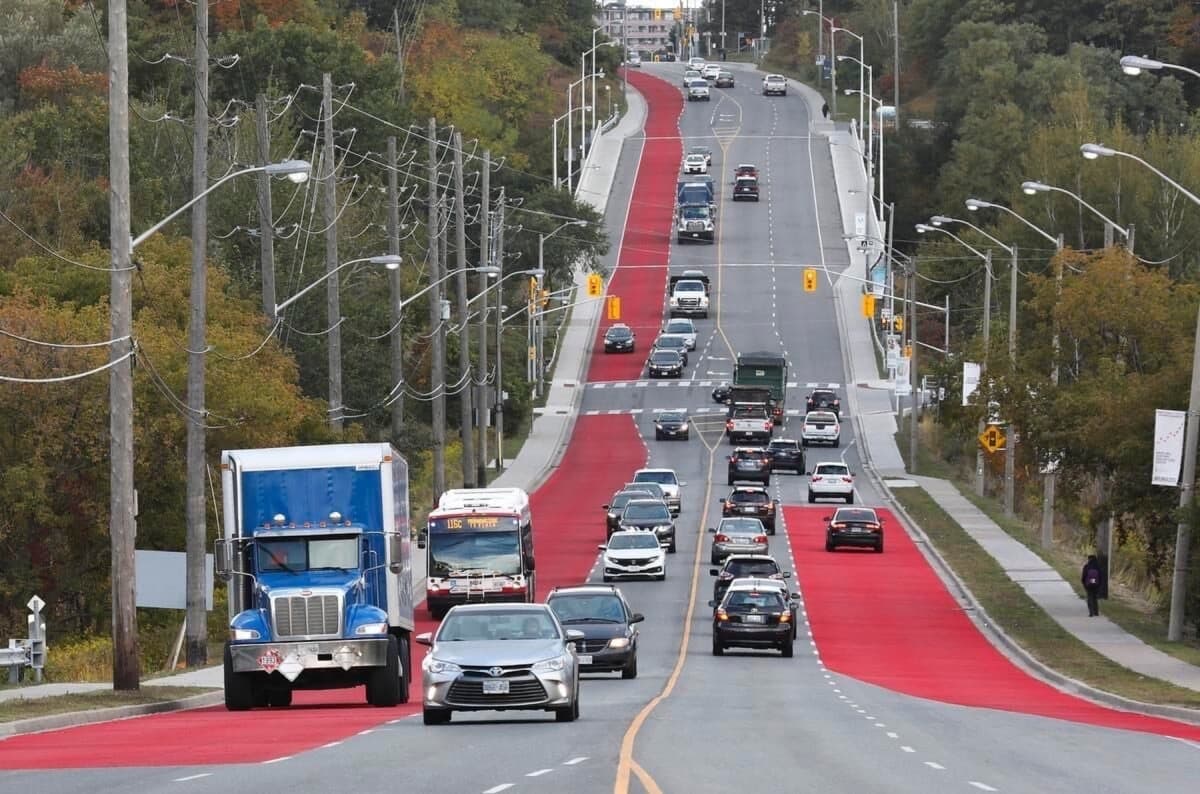
In Toronto, several projects illustrate the challenges and opportunities of integrating new rail infrastructure with existing urban networks. The Eglinton Crosstown light rail line (Line 5), equipped with Alstom vehicles, entered service on February 8, 2026. It links 25 stations over 19 km, connects to 68 bus routes and three subway stations of the Toronto Transit Commission (TTC), and is designed to carry up to 123,000 passengers a day.
The Finch West light rail line, also equipped with Alstom Citadis Spirit vehicles, completes this network of structuring lines.
BusPas also won a pilot project with the TTC to install 26 SmartSign™ units, to improve passenger information and better understand urban mobility dynamics. These smart stops give riders real-time information while collecting data on street activity and traffic conditions. The project was launched in January 2026, and BusPas has since been named a selected TTC partner, with its real-time information infrastructure live on the network in time for the FIFA World Cup 2026.
An invitation to the discussion
Alto’s success will depend less on the number of stations than on how efficiently the whole region can reach them.
Let me repeat: I am not opposed to a downtown station. The question may not be whether Montréal or Laval deserves a station, but where each public dollar will return the most to the region. The real question might be: would the Montréal region work more efficiently with a single large metropolitan station, backed by a high-performing regional mobility network?
Alto is due to present, by the end of 2026, a refined corridor for the Ottawa–Laval–Montréal segment, followed by a new round of public consultation. It is therefore the right time to ask. This is a question worth exploring collectively, with urban planners, engineers, transport planners and citizens. I would very much like to hear your views, whether in the comments on the original LinkedIn article or directly.
Notes and sources
- 01Martin Imbleau, President and CEO of Alto. Quote as published: “Undertaking one of the biggest infrastructure projects in Canada’s history requires multi-stage planning. Focusing first on the Ottawa–Montréal segment is a logical step to optimize the project, accelerate delivery, and generate tangible local economic benefits.” Transport Canada, December 12, 2025
- 02Martin Imbleau. Quote as published: “Public engagement is a cornerstone of the Alto project…” News release, January 15, 2026
- 03Alain Bertaud, Order Without Design: How Markets Shape Cities, MIT Press, 2018. See also alainbertaud.com
- 04Alto, Map and network
- 05Alto, “What We Heard” report, corridor study area consultation, June 2026
- 06Parliamentary Budget Officer, report on the cost of the Alto project, October 1, 2026 (about 15 km tunnel under Mount Royal; $169 million per additional kilometre of tunnel). Noovo Info
- 07STM, Blue Line extension
- 08Carmela Cucuzzella et al., “A TOD index integrating development potential, economic vibrancy, and socio-economic factors for encouraging polycentric cities”, Cities, 2022. Concordia University
- 09MTA New York, Automated Camera Enforcement (ACE)
- 10Michael Keroullé, President of Alstom Americas. Quote as published: “Alstom’s vehicles and signalling continue to serve as the backbone of a crucial piece of the Greater Toronto Area’s transit system.” Alstom, February 9, 2026
By
Jonathan Potter
Founder & Strategic Lead
Founder of Boisvert-Gayle™ | BGprod. Works across corporate positioning, reputation and commercial strategy for technology, mobility and infrastructure organizations, and directs the studio's film and creative output.
LinkedIn